
On Development: Some rather pedestrian attempts at walkability
For walkability to be achieved, the concept must be embedded in the very framework of development.
If your walkable neighborhoods are not connected to other walkable neighborhoods, you’re not doing it right.
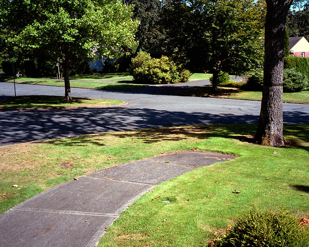
Violet Township is getting community input to shape the development of more than 700 acres of former farmland just northeast of Pickerington’s town center. The township envisions a walkable district around a planned 160,000 square-foot Meijer Supercenter southeast of where Refugee and Pickerington roads intersect.
There’s nothing walkable, of course, about a sprawling big-box store dwarfed by its parking lot. What’s more, the proposed “Community Gathering Place Overlay District” doesn’t require walkability, but sets standards for landowners and developers who choose the pedestrian-friendly zoning option.
A donation powers the future of local, independent news in Columbus.
Support Matter News
But Pickerington’s annexation of the Meijer site prompted Violet Township – which has jurisdiction over the surrounding land – to formally put pedestrians on the local agenda
Back in 2017, when the farmland was clearly destined for development, township officials, with help from MORPC, envisioned a plan for Refugee Road that would include mixed-use walkability. But It’s hard to focus on pedestrians in a land where highway engineering takes precedence.
A walkable place has to be much more than an enclave. The first highway-era experiment in Columbus occurred 50 years ago when The Continent was developed and a slice of France sprouted northwest of the I-71/Rt. 161 interchange. Shops lined narrow pedestrian streets, with three levels of apartments above. The French Market was a successful harbinger of the foodie trend – the original food hall. Nightspots and a cinema followed.
Evoking Paris (or maybe a provincial French town or New Orleans), this bit of suburbia was surrounded by parking lots. It had no physical connection to any other neighborhoods. Despite its success over two decades, it didn’t last. Eventually, it faded to little more than a shopping center and a cinema with apartments.
Developer Bill Bonner understood later that the lack of a link to other neighborhoods was a problem. Before his death in 2004, the Clintonville native was still envisioning ways to develop new, walkable communities.
Easton Town Center has been successful for 25 years with a newer version of that model, incorporating retail, residential and white-collar job centers in a mega development. But the different uses are still separated by wide, busy, fast major thoroughfares all linked to I-270 interchanges on the Overbuilt Outerbelt. Easton is still a huge commercial island in a sea of sprawl.
Other than its retail core, it is not walkable. It’s a place to which pedestrians must drive. As of now, the upper floors have no apartments or condos. The most visible housing in the area is just south of the town center – across a six-lane thoroughfare. The attractive, historic-looking rowhouses of Easton Commons Apartments look out of place.
Bridge Park in Dublin comes even closer to real walkability, but still falls short. It has offices and apartments above shops and restaurants on an actual (though tiny) urban street grid, and a couple of subdivisions a short walk away. But it is all at the northeast quadrant of a massive intersection with a busy two-lane roundabout.
The riverfront park is a great asset, and the “Dublin Link” – the winding pedestrian bridge across the Scioto River – is a welcome walkway to Dublin’s old downtown. But as a year-round, sole pedestrian connection between two walkable areas, it is rather tenuous.
A key feature of the Continent, Easton, and Bridge Park is that they all were centrally planned, major-development projects.
Walkability can’t be achieved megaproject my megaproject.
It can only be done through commitment to walkability throughout a city, township, county, or region. Walkability must be the very framework of development – a set of rules and standards that apply to any growth, whether it be megaprojects and/or smaller incremental development. It is essential to connecting different neighborhoods and developments.
Walkability does not mean the absence of cars. It means the peaceful coexistence of pedestrians and motor vehicles: narrow traffic lanes, ubiquitous sidewalks and crosswalks, a return to old street grids that disperse slow traffic in a way that doesn’t channel every car into busy chasms of multi-lane mayhem.
Modern subdivisions tend to have winding streets that are totally separated from those of neighboring subdivisions. And all traffic from each neighboring development empties onto the same, crowded collector street. All those collectors, in turn, feed into increasingly jammed arterial streets, which are uncomfortable and dangerous for pedestrians.
It’s nice that Violet Township sees the value in developments that promote walking. But it won’t be truly walkable unless it encompasses the entire township – and more. This current plan is still a mere attempt to incorporate a few pedestrians into a small part of an automobile world.
Brian Williams is a semi-retired reporter and planner.
Related Articles
On Development: Developing better health care and hospitals
Despite the hospital construction projects all over the state, residents across most of Ohio are no closer to health care – and many are even further removed from hospitals.
‘I am not going to stand before God and say, well, I chickened out’: Reflections on building caring coalitions
More than three years after the City of Columbus bulldozed Camp Shameless, one of the founders of the encampment offers their perspective on the housing crisis and the people working at the grassroots to give aid to those routinely left behind.
New affordable housing investments may leave Columbus’ most vulnerable properties, and tenants, behind
Even as new bonds approved by voters hope to transform housing development for years to come, a desperate shortage of affordable units continues to push low-income renters into the lowest-quality homes.