
On Development: Columbus is stuck with these doggone doglegs
City maps show that by 1872 Columbus had grown well beyond that core along the Broad and High axes. Instead of neat, four-corner intersections of cross streets, the city’s main thoroughfares were broken into dogleg intersections.
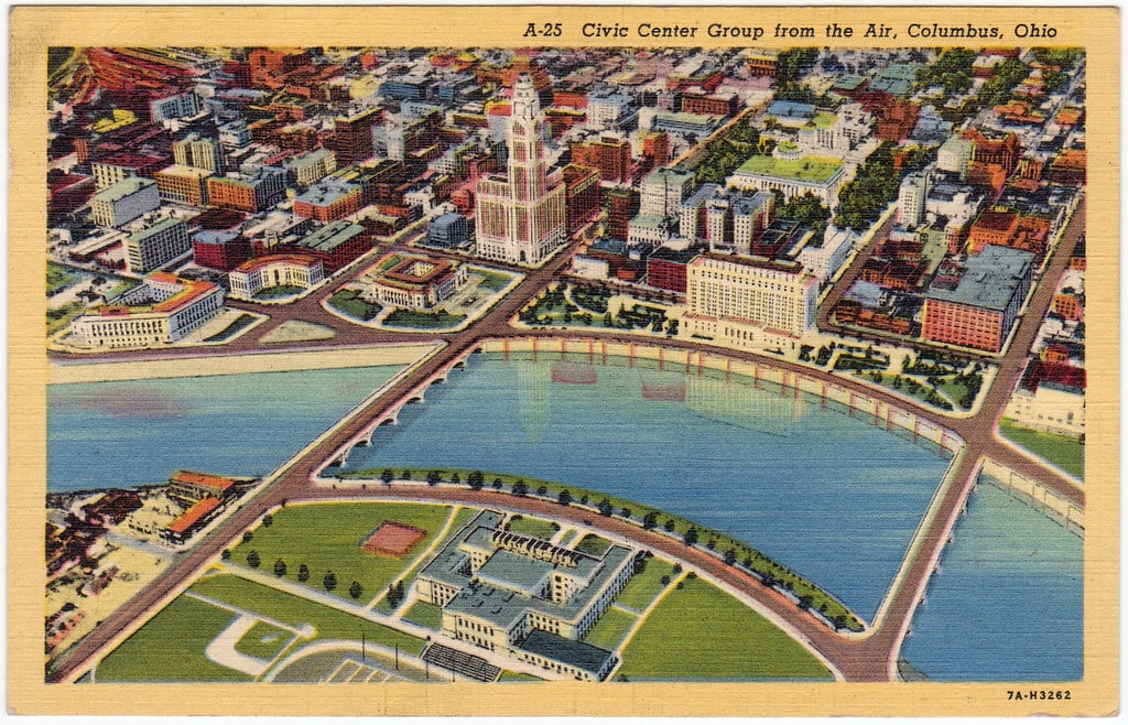
When Columbus was first platted in 1812 as the future capital of Ohio, the planners drew a grid of roughly two square miles: from Livingston Avenue north to the current Nationwide Boulevard, and from the Scioto River east to the current Parsons Avenue. The streets and blocks were neatly laid out, with the corner of High and Broad streets at the core.
City maps show that by 1872 Columbus had grown well beyond that core along the Broad and High axes. But a curious thing happened. The street grid was no longer so tidy. In fact, to call it a grid is a stretch. Instead of neat, four-corner intersections of cross streets, the city’s main thoroughfares were broken into dogleg intersections. East Third Avenue, for example, crosses High a half block south of West Third Avenue.
Apparently, the original 1812 grid was the end of urban planning for many decades. The subdividing of land in the growing city was largely determined by landowners and builders – a process that was seemingly more la-de-dah than laissez faire.
A donation powers the future of local, independent news in Columbus.
Support Matter News
As a result, 200 years later, as Columbus and its traffic have grown like crazy, we have challenges like the Greenlawn Avenue ramps from I-71: Cars exit the freeway and head east on four-lane Greenlawn – which suddenly constricts to three lanes for one block until it essentially dead-ends at High Street. Actually, it zigzags to Thurman Avenue.
Now the City of Columbus is planning a $3 million realignment of the intersection. That would be a good thing. But it’s just a drop in the bucket.
The fact remains that the length of High Street through the city is flanked by dogleg intersections where cross streets do not connect. In fact, that original 1812 plat is still the city’s only true grid. From Goodale Street north to Lane Avenue, for example, only three cross streets match up. And the pattern is not much better on South High, or in either direction along Broad Street.
In fact, few Columbus streets can readily accommodate freeway interchanges. Exiting to Henderson Road from Rt. 315, traffic heads east up to High Street, where Henderson suddenly narrows, then curves and merges into rustic, two-lane Cooke Road. At Hudson Street, traffic exiting from I-71 heads west as Hudson narrows from four to three lanes and, a block later, swerves into a two-lane residential street. East and West North Broadway between I-71 and Rt. 315 likewise have several personality changes.
Dublin-Granville Road and Broad Street are the only thoroughfares that cross the city from east to west. Fifth Avenue comes close, with ramps to the East Outerbelt, I-71, and Rt. 315. But it comes to a sudden end at McKinley Road, along the Scioto River. From North to south, High Street and Hamilton Road are the only thoroughfares to span the city.
Contrast this with the rigid grid of Chicago streets – where dozens of major streets run the length or width of the city, many of them beyond city limits into suburbs and across county lines.
The Land Ordinance of 1785 decreed that, as new territories and states came into being, each township in each county would be divided into 36 square sections of 640 acres – or one square mile. Chicago, founded in 1833, adopted section lines as the basis for its street grid. That quickly became the model for all of Cook County. As the city grew through the 19th century, the villages and townships it annexed were already part of that grid. City plans ensured that smaller grids of neighborhoods developed within each square-mile section grid.
To be fair, Chicago is not a good comparison for Columbus. Chicago is on the shore of a huge expanse of flat land and was platted in 1833 – decades after the rigid surveying standards of the federal Land Ordinance of 1785 and the 1787 Northwest Ordinance became the norm.
In contrast, several different land-surveying initiatives (to make land available for various groups of Revolutionary War veterans) converged at what is now Columbus. The Refugee Tract was set aside for Canadians who served with American fighters. The 42-mile-long tract ends at the Scioto River; its northern boundary is East Fifth Avenue, and the southern border is Refugee Road. The Virginia Military District covered 4.2 million acres west of the Scioto and north from the Ohio River to Marion. It used entirely different surveying methods on land set aside for Virginia soldiers in the war. The U.S. Military District (north of the Refugee tract and east of the Virginian district) compensated other war veterans.
While these assorted tracts are not the cause of the city’s many doglegs, they show that land-use patterns in Columbus have given us a long history of confusion that still plagues us.
Thanks to local historian Terry Sherburn, a frequent presence at Columbus Metropolitan Library’s local research archive, who helped clarify some details for this column.
Related Articles

Local Politics: A rundown of what the Flock is going on
The Columbus City Council is seeking public testimony ahead of an early August hearing on the future of Flock, a license-plate-reading surveillance camera system.
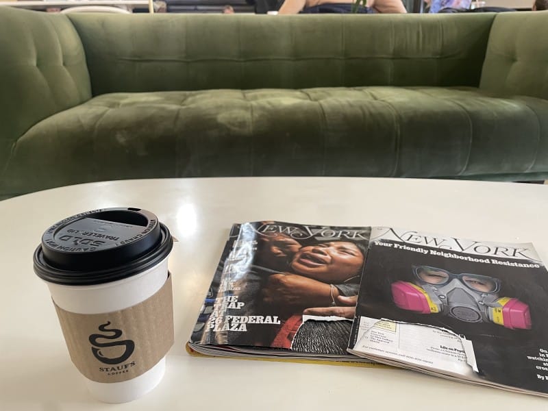
The Worker’s View: Stauf’s union campaign stalls amid lack of support, fears of retaliation
‘We’re really at a standstill,’ one barista said.
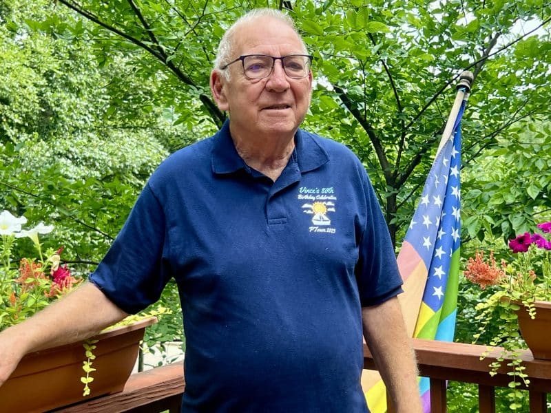
Care is a verb: Lessons in building supportive community from lifelong advocate Vince Engel
Times of uncertainty and fear can foster societies of care.