
Brent Warren puts Columbus on the map
The longtime local reporter will celebrate the release of ‘Columbus in 50 Maps’ at Prologue Bookshop tonight (Tuesday, Dec. 2).

Growing up in Columbus in the 1980s and ’90s, writer Brent Warren grew weary of civic leaders constantly devising schemes meant to put the city “on the map,” recalling events such as AmeriFlora and the Columbus 500, for which the streets of downtown were transformed into a racetrack for the International Motor Sports Association championships.
“I feel like we need to give ourselves a bit of a break on that obsession with an identity and on [seeking] national recognition,” said Warren, a longtime staff reporter for Columbus Underground, who will celebrate the release of his new book, Columbus in 50 Maps, at Prologue Bookshop at 7 p.m. today (Tuesday, Dec. 2). “Part of it is just that Columbus has been growing so consistently for so long that when you check in on it at different times in its history, it’s almost a completely different place. Columbus was a small town for a long time while these other Midwest cities around us were major world cities. Cleveland was the fourth biggest city in the country, and Pittsburgh, Detroit, Cincinnati, they were all up there. … So, I think maybe it’s too much to expect us to have a solidified identity at this point. And I think it’s okay if it takes us a little time to figure out who we are.”
In Columbus in 50 Maps – one in a continuing series of city collections commissioned by the independent, Cleveland-based Belt Publishing – Warren doesn’t attempt to surface any kind of broader identity, instead working alongside cartographer Vicky Johnson-Dahl to present readers with a series of maps that offer a more-rounded view of the Ohio capital, acknowledging its progress without overlooking its flaws. So, while there is a map that details what Columbus could look like if current LinkUs transit proposals unfold as planned, there is also one that shows the ghosts of proposed trainlines, monorails, and light rail systems that were pitched and never materialized. (And, yes, there’s even a “Put Us on the Map” map, which documents the locations of those various failed events once offered as city-defining.)
A donation powers the future of local, independent news in Columbus.
Support Matter News
“There’s a lot of praise for Columbus constantly coming from our leaders, and I think it’s healthy to take a closer look at the things we have not done right in the past,” Warren said. “And that’s a place where I was trying to strike a balance in the book. I didn’t want it all to be, look how great Columbus is! But I also didn’t want it to be, look how horrible things are. … Cities are complex, incredibly nuanced places, and there are lots of stories in every city. I just tried to zoom in on some of them.”
One theme that does resurface throughout, however, is that along with Columbus’ steady growth and ongoing push toward reinvention, there also exists a thread of historical erasure and a willingness to bulldoze the past in the name of progress. It’s an idea present in the book’s first map, which shows the locations of the mounds and earthworks constructed by the Indigenous people from the Adena, Hopewell, and Fort Ancient cultures, which were plowed over in the early 1800s construction of the city’s roadways, the clay and gravel contained within the sacred sites used to construct the early buildings that dotted Capital Square.
Other maps document similar erasures that followed, including one that shows the locations of early African American settlements such as Flytown, Mudsock, and Hanford Village, and another map that shows the impacts of redlining and highway construction, which split and devastated a number of largely Black neighborhoods.
Initially, Warren said he wanted to include a map showing the neighborhoods that had in place racial covenants – restrictive clauses placed into property deeds to prevent people who were not white from buying or occupying land – but reconsidered when he spoke with someone at the Kirwin Institute who said they had a PhD student engaged in that research, describing it as “a three-year project.”
“But they suggested the idea of combining redlining and highways to see where the highways were built and how closely that lined up with redlining,” Warren said. “And that’s the kind of thing I feel like a map is perfect for explaining. Someone can look over and see, oh, that’s really what happened. You can see it right there on the page.”
A map showing the current locations of numerous downtown parking lots serves as another sign of this historical erasure. “We’ve lost so many historic buildings, and there are so many downtown parking lots,” said Warren, who spent significant time sitting with these ideas in the creation of the book. “If you have people moving from other places into Columbus, their clock starts when they arrive. … And I think that’s a natural thing if you’re a younger city that is constantly bringing in new people, and those people don’t necessarily arrive knowing anything about the history of this place.”
Even having grown up in Columbus, Warren said undertaking this project allowed him to slow down and spend time lingering on the past in ways he hadn’t before, allowing that his reporting job often requires his energies to be focused on what’s new and next. “I think learning more about the history of the city is incredibly helpful for covering it,” he said. “It’s good to have that context, and it definitely helps in the day to day, deciding what to cover and how you cover it.”
Author

Related Articles
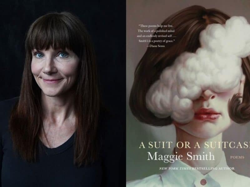
Maggie Smith is content not having all of the answers
The Columbus poet’s new collection, ‘A Suit or a Suitcase,’ confronts more existential concepts such as aging, time, memory, and the durability (or not) of self.
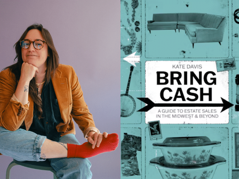
Go estate sailing with Columbus author Kate Davis
‘Bring Cash: A Guide to Estate Sales in the Midwest and Beyond,’ out now, serves as both a how-to guide for those new to the pastime and an endearingly rambling love letter to the people, places, and events that helped to nurture the passion in Davis.
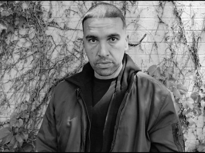
Marcus Jackson finds beauty in life’s simple things
The Columbus poet, who will read this week as part of ‘Rhapsody & Refrain’ at Streetlight Guild, addresses a range of big ideas in poems where the language is frequently stripped to the studs.